Kabelik GmbH can offer you data processing services with the following software packages:

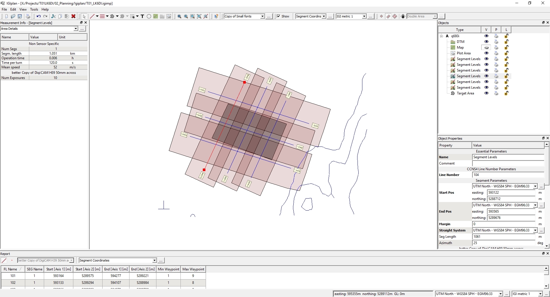
Flightplanning for LIDAR, Bathymetry, Orthophoto, Hyperspectral Imaging and Thermal Imaging projects:

IGI: Igiplan

Flightplanning Igiplan
IGIPlan flightplan from testside Lanzenkirchen near Wiener Neustadt, Austria.

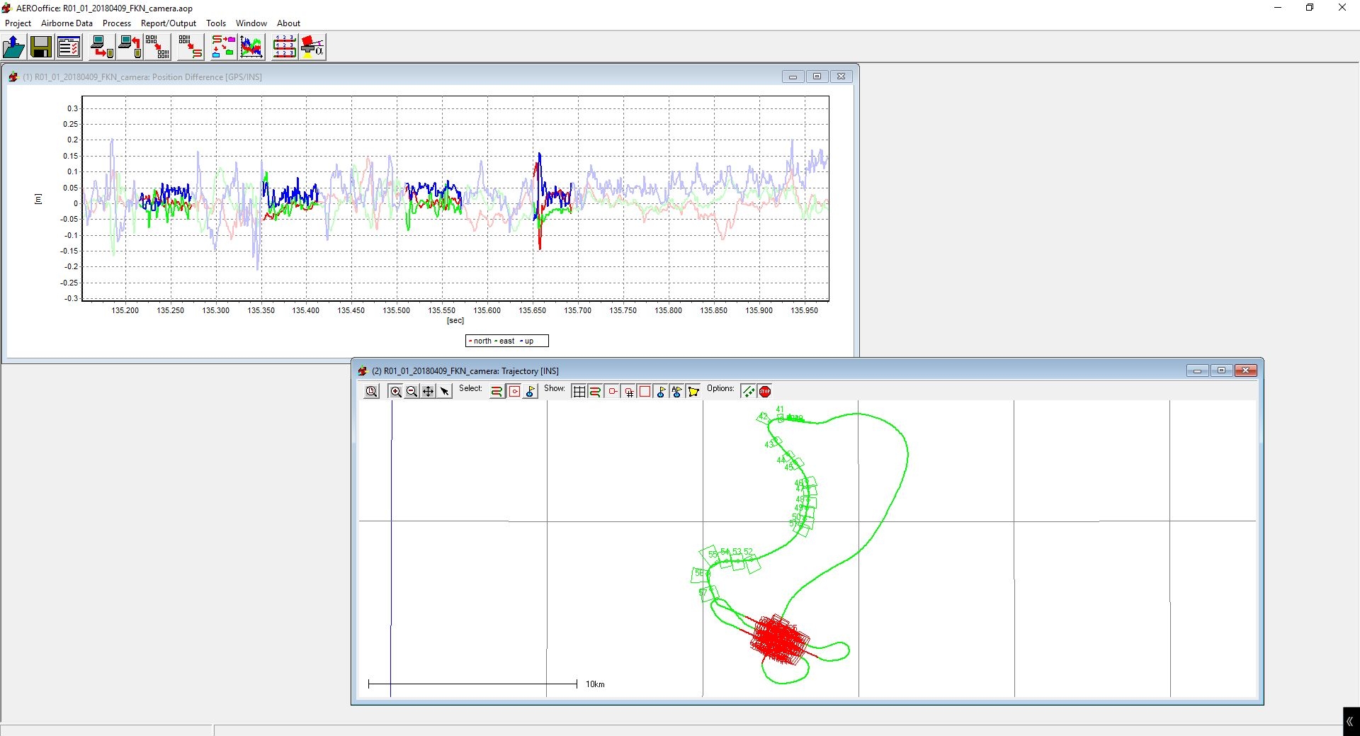
Trajectory Processing for LIDAR, Bathymetry, Orthophoto, Hyperspectral Imaging and Thermal Imaging projects:

IGI: AeroOffice

Top IMU/GPS difference plot, bot flight trajectory with footprints of images.

Novatel: Grafnav

Grafnav
Difference plot between forward and backward GPS trajectory solutiion.

LIDAR + Bathymetry Pointcloud processing, strip adjustment and refraction correction:

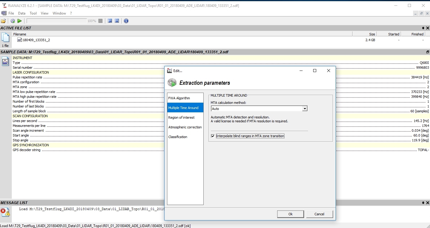
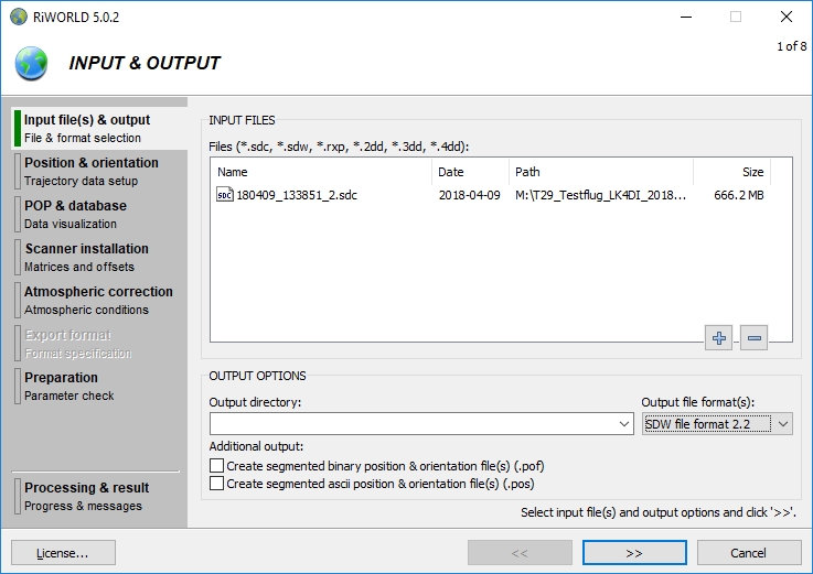
Riegl : Riworld, RiAnalyze, RiProcess, RiHydro

RiProcess
RiProcess hillshade plot of Lanzenkirchen, Austria.

RiAnalyze
RiAnalyze extraction parameters.

RiWorld
RiWorld Settings

LIDAR Classification, DSM, DTM, Orthophotos, Thermal Orthophotos:

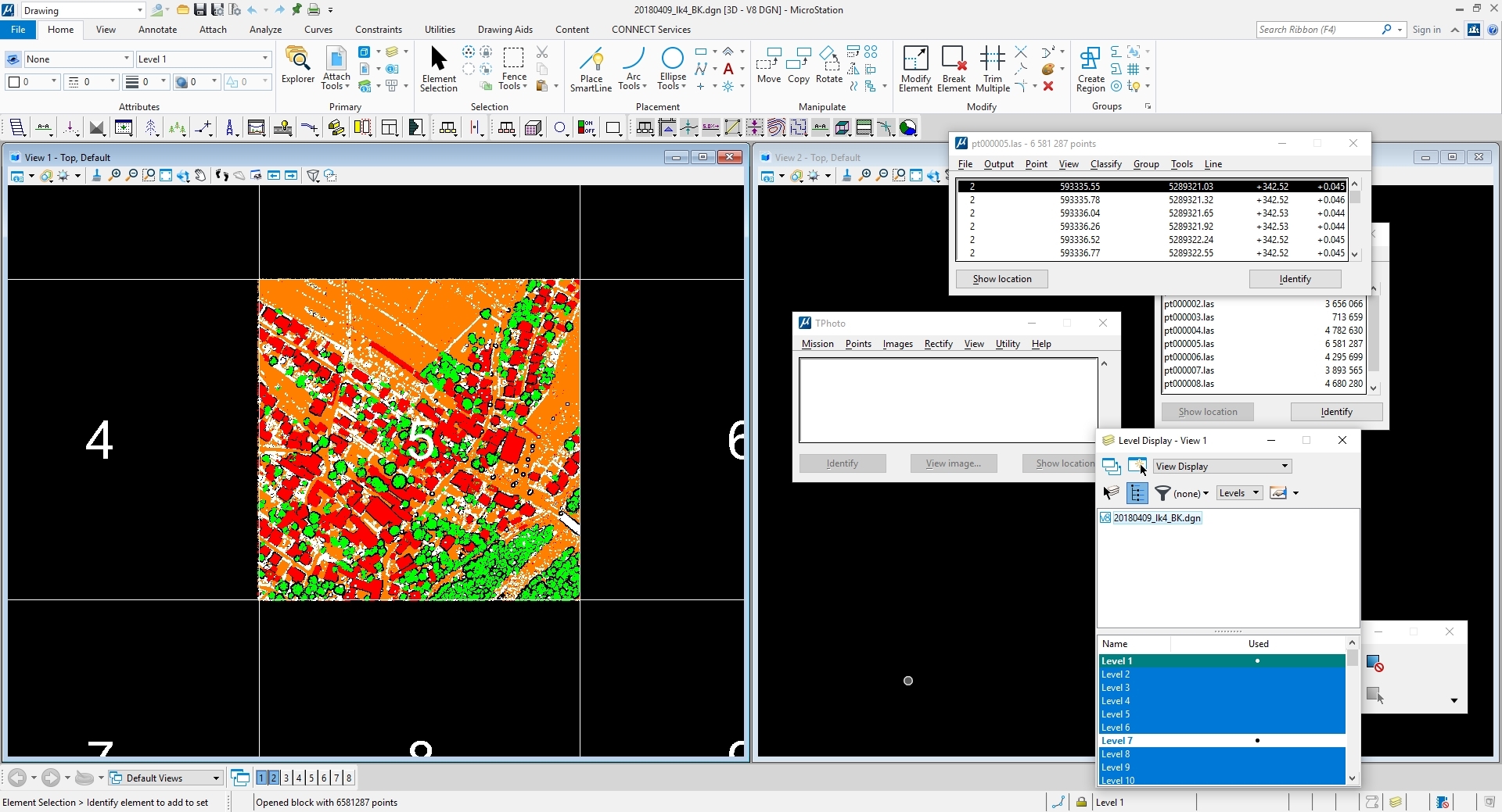
Terrasolid: Tscan, Tphoto, Tmodeler, Tmatch

PDAL

TerraScan
TerraScan pointcloud classification.

TerraPhoto
TerraPhoto Orthophoto Processing with Colorpoints for radiometric correction.

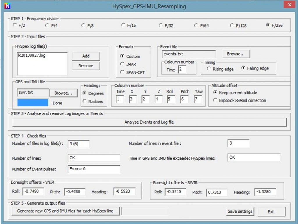
Hyperspectral Radimetric correction and trajectory:

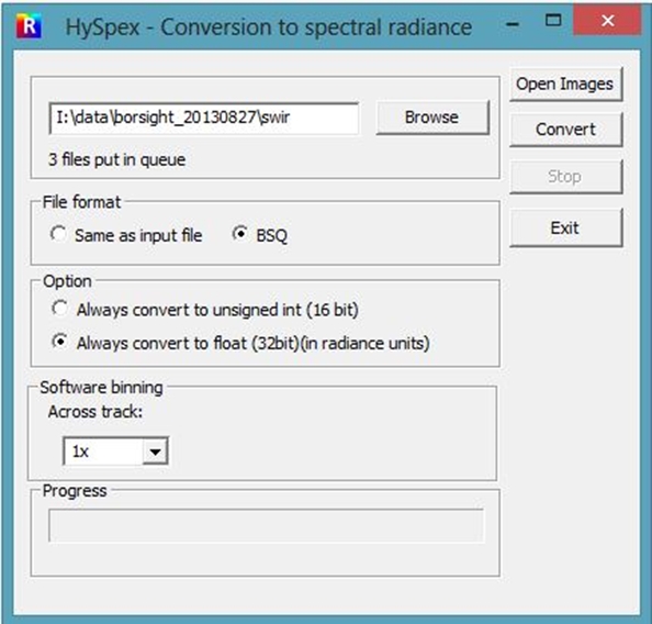
HySpex: Hyspexnav, Hyspexrad

HyspexRad
Hyperspectral radiometric correction with HyspexRad.

HyspexNav
Hyperspectral trajectory processing with HyspexNav.

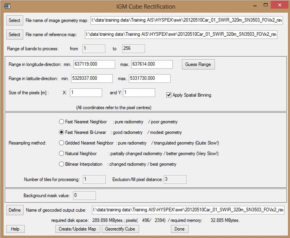
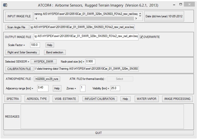
Hyperspectral Orthorectification, direct georeferencing and atmospheric correction:

Rese: Parge, ATCOR4

Parge main window
Parge
Direct georeferencing of hyperspectral vnir and swir data with Parge.

ATCOR4 main window
ATCOR4
Atmospheric correction of hyperspectral vnir and swir data with ATCOR4.