We can offer you several different Webmapping solutions. Mainly based on opensource software. We are not only build you customized webmap servers we are also supporting and updating our products.
LIDAR Pointcloud Webservice
Kabelik GmbH is able to convert large point cloud data to an easy viewable Webservice. You only need your browser to view the data. It is also possible to measure and extract profiles. See and play with our example below:
See also here in fullscreen:
https://www.kabelik.at/test/lk6/lk.html
We offer the full supply chain beginning from complete server solution over help with implementation to hosing your data in a public or private cloud.
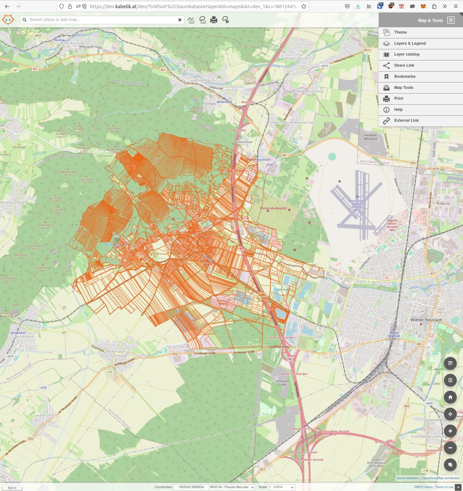
Web Map Services
We are bringing your data to the cloud. Be it raster or vector data we can transform it to a web map service or web feature service. We use open source software like geoserver, qgis server, qwc2, openlayers, geowebcache, tilecache, mapbender, etc. depending on your needs.
We offer the full supply chain beginning from complete server solution over help with implementation to hosing your data in a public or private cloud.